
North Chicago ZIP Coverage
Two ZIP codes have firm official support for North Chicago use. City and library addresses establish 60064 as the general municipal mailing label. Official Navy and Great Lakes addresses establish 60088 as an installation and federal-community route. The nearby 60085 belongs to Waukegan and is useful as a county-seat comparison, not as a proven North Chicago city ZIP.
| ZIP | Local Area | Post Office Context | Research Note |
|---|---|---|---|
| 60064 | North Chicago municipal addresses | North Chicago general mailing label | Confirm city edges with parcel municipality |
| 60088 | Great Lakes and official Navy routes in North Chicago | Installation and federal-community label | Not a complete city boundary |
| 60085 | Adjacent Waukegan area | Waukegan and county-seat offices | Comparison only, not a proven city ZIP |
Nearby 60044 and 60048 appeared in Census search context, but the research did not locate an authoritative local source proving either serves a North Chicago municipal address. A careful ZIP code directory leaves those claims open instead of turning a nearby statistical result into a postal fact.
North Chicago ZIP 60064
North Chicago City Hall at 1850 Lewis Avenue and North Chicago Public Library at 2100 Argonne Drive supply public test addresses for 60064. USPS Postal Bulletin material also supports North Chicago IL 60064-9998. These examples establish current official use without exposing a private home address.
They do not draw every edge. A postal city name tells the Postal Service how to route mail. The county's Municipality field answers a different question about local government. Township, ward, and parcel records add still more layers. Use 60064 to narrow a search, then retain the address, municipality, township, ward, and PIN shown by each official system.
Note: A current public building makes a safe test case, but one correct 60064 result does not define the full municipal boundary.
North Chicago ZIP 60088
Great Lakes creates North Chicago's most important postal distinction. Official Navy and installation routes use 60088, while the incorporated city commonly uses 60064. Naval Station Great Lakes opened in North Chicago in July 1911 and became the Navy's recruit-training center, so older and modern sources may file the same broad area under Great Lakes, North Chicago, a base term, or a Lake County label.
A 60088 address should be checked as an installation or federal-community route. It is not a public roster of service members or civilian residents. Federal military sources also have their own access limits. Preserve the exact institutional wording when comparing a directory, map, parcel, newspaper, or public agency record.
Geography key. Great Lakes, North Chicago, postal ZIP, municipal boundary, and ward are separate labels. Agreement should be shown, never assumed.
Find North Chicago Residents by ZIP
The Lake County assessor is the strongest captured ZIP-capable local portal. Its basic search includes City Name and ZIP Code, plus address controls. Advanced search includes Zip Code and Municipality. Run both values together, then inspect the parcel's municipality and assessment year. Property records remain parcel records: the owner or billing name may not identify an occupant.
- Verify the exact address with the USPS ZIP Code Lookup, saving the returned postal city, ZIP, and ZIP+4.
- Search the Lake County property system with City Name and ZIP Code. Note municipality, township, PIN, and assessment year.
- Compare the parcel in the county GIS municipal layer and the city's ward or neighborhood map. GIS is a reference layer, not USPS authority.
- Use the PIN, legal description, property address, or party name in the recorder when a deed is needed. The captured recorder form has no ZIP field.
- Move to the North Chicago street directory once the postal area has been reduced to a street or parcel.
This sequence keeps postal and legal geography separate. If a system disagrees, save both labels and the retrieval date. A mismatch can be the key fact, particularly near a city edge or installation route.
North Chicago ZIP Search Fields
The assessor's controls are more useful than a broad list of names because they let a researcher reproduce the query. Basic address mode separates number, direction, street, suffix, unit, city, and ZIP. Advanced mode adds Municipality and other parcel criteria. Search a public test address first to learn the field behavior.
| Portal Field | How to Use It |
|---|---|
| City Name | Select North Chicago in basic search |
| ZIP Code | Test 60064 or 60088 without treating it as a boundary |
| Municipality | Use advanced search to check local jurisdiction |
| Street controls | Enter number, direction, name, suffix, and unit separately |
| PIN | Carry the parcel identifier into GIS and land-record work |
Do not silently change an old street label to a current one. The research found no official North Chicago renumbering schedule. For historical conflicts, compare directories, plats, legal descriptions, Sanborn maps, City Clerk ordinances, and stable cross streets.
North Chicago ZIP Map Sources
Open North Chicago's municipal map collection before reviewing the successful map-page capture.
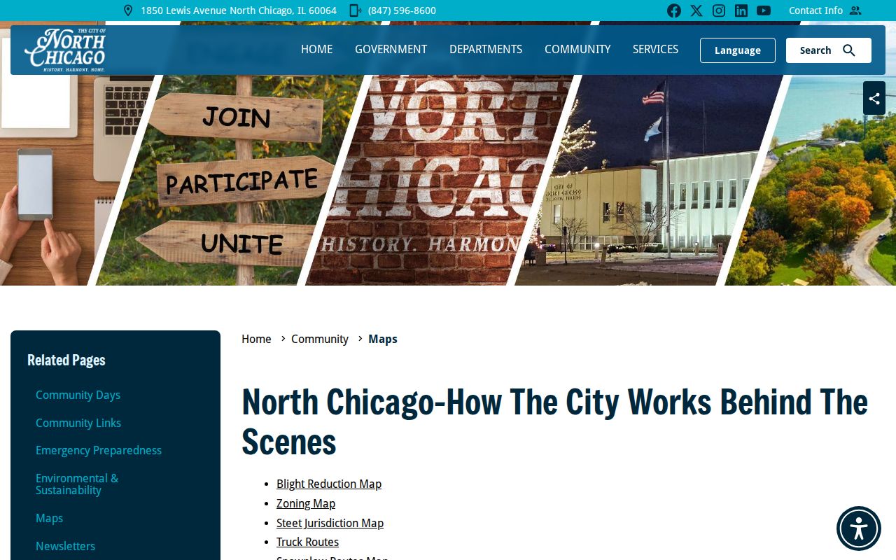
The city provides ward, neighborhood, zoning, street-jurisdiction, TIF, enterprise-zone, flood and wetlands, truck-route, and snowplow maps. Those layers explain local geography, but none is a postal authority or resident list.
Use the current USPS lookup alongside its captured entry screen.
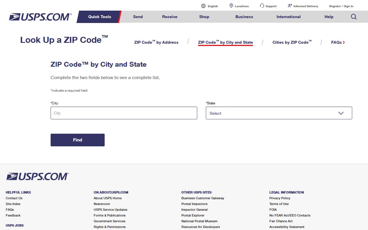
The unattended capture did not expose its inner fields or result list, so the live exact-address result should control.
North Chicago Versus Waukegan ZIP
Waukegan is the Lake County seat and uses 60085 addresses. Many offices and local research collections that serve North Chicago therefore have Waukegan mailing addresses. That does not turn a North Chicago event, parcel, or person into a Waukegan one. County custody and event geography are separate facts.
Historical directories and newspapers can cover Waukegan, North Chicago, Great Lakes, and nearby places in one volume. Preserve the heading printed in the source. Then check street, municipality, ward, parcel, and year. The overlap is useful for finding records, but it is not permission to merge the places.
North Chicago Corridors Cross Labels
The 2024 Comprehensive Plan identifies Martin Luther King Jr. Drive, Green Bay Road, Audrey Nixon Boulevard, and Sheridan Road as major corridors. City material also notes boundary shifts and redistricting as population and development changed. Claims of annexation along Waukegan Road and acreage along Route 41 should be verified in City Council and planning records for the ordinance and effective date.
These corridors show why ZIP-wide searching is only a first cut. An address can share a postal route while differing in municipality, ward, subdivision, or installation context. Check the closest stable cross streets and the parcel's legal description when a map label conflicts with an old directory.
City maps add useful dated context. A ward map can show the political district for a North Chicago address, while street-jurisdiction and zoning maps answer who maintains a road or how land is classified. Flood, wetland, enterprise-zone, and project maps describe other boundaries. None of them changes the USPS delivery result. Record the map title and date so later redistricting or annexation does not make an older finding look wrong.
North Chicago ZIP Boundary Limits
A North Chicago ZIP code directory is a postal research aid, not a complete roll of people. The public voter lookup is address and registration based, and Illinois voter-file distribution has statutory purposes and limits. Business or professional records may show a ZIP for an office. Court files may show an address subject to case-access rules. None should be converted into a ZIP-wide list of residents.
- ZIP code
- A mail-delivery geography that does not necessarily match a city line.
- ZIP+4
- An added four digits that narrow mail delivery to a smaller segment.
- PO-box ZIP
- A ZIP used for post-office boxes rather than a mapped neighborhood.
- Unique ZIP
- A postal code assigned to one large organization or institution.
- Carrier route
- A set of delivery addresses served in a postal route.
The reproducible test is exact address to USPS, then assessor, GIS, ward map, and recorder identifier. Store the result date. If 60088 returns Great Lakes wording, keep it. If 60085 appears, verify Waukegan. If postal city and assessor municipality differ, report both.
Historical name searches need the same care. A directory may place North Chicago and Great Lakes within a wider Waukegan-area volume. Census geography may use a place or statistical area that does not follow a carrier route. Deeds rely on PIN, legal description, subdivision, party, and recording date, not on the ZIP printed on a later envelope. The correct ZIP code directory result is therefore a dated postal fact joined to, but never substituted for, the record's own geography.
Save enough detail for another person to repeat the check: the exact public test address, portal mode, values entered, returned postal city, municipality, township, ward, PIN, map date, and retrieval date. This small research log is more reliable than a copied result with no source context. It also shows whether a later difference came from a route update, a map revision, or a search error.
For a voter question, use the official registration tool for the individual and address concerned. Illinois does not publish an unrestricted resident list by ZIP. District-only file pricing is address based, and statutory limits apply to voter data. A ZIP filter in a license or entity system likewise describes the address in that filing, not every person who receives mail in the area.