
North Chicago Neighbors in Public Sources
Different sources answer different block questions. GIS identifies which parcels share a line. The assessment roll gives the owner or billing label for each PIN. Deeds show recorded interests. City maps place the site in a ward or planning layer. Historical books provide dated occupants, not live household lists.
| Source | What It Reveals on a Block | How to Reach It |
|---|---|---|
| Tax Parcel Viewer | Parcel shapes, roads, nearby lots, municipal context | Free dynamic map, with boundary disclaimer |
| Assessor roll | PIN, situs, owner or billing label, assessment context | Free basic and advanced search |
| Recorder index | Recorded parties, deeds, plats, legal descriptions | PublicSearch or Waukegan counter |
| Ward and neighborhood maps | Civic and planning geography | North Chicago map and council pages |
| Directories, census, Sanborn | Dated households and old block form | Libraries, archives, and map collections |
An assessor owner is not always an occupant. A mailing address may point elsewhere. A directory name proves only what the dated edition printed. Use “adjacent parcel” for the map relationship and “directory entry” for a historic name.
Map North Chicago Neighbors by PIN
The Lake County Tax Parcel Viewer is the first route for a block. Its layers are dynamic, and the county treats mapped boundaries as general reference rather than a legal survey. If the viewer fails, keep the assessor text result, call GIS at 847-377-2388, and mark adjacency as not checked.
- Locate the target address and save its exact situs and PIN.
- Click each parcel that shares a boundary and record its PIN, situs, map position, and municipality.
- Cross-check each PIN in the assessor roll and Recorder, without copying private tax-mailing details.
- Add ward, zoning, street-jurisdiction, and neighborhood-map context.
- Label parcels across a road, alley, railroad, or corner separately from true shared-boundary lots.
A whole-road project calls for the North Chicago street directory; a neighbor lookup stays on the immediate block or small radius.
What North Chicago Parcel Fields Mean
The assessor's basic search accepts parcel ID, owner, billing name, address number and street, direction, suffix, unit, township, city, and ZIP. Save the assessment-year label with any result. A PIN is the parcel identifier. Situs is the physical site. Owner and billing fields describe the tax roll and can differ from the people who occupy the place.
- Adjacent parcel
- A lot that shares a boundary line, not merely a corner point or nearby view.
- PIN
- The county parcel identification number used to connect tax, GIS, and deed evidence.
- Plat
- A recorded drawing that defines lots, blocks, streets, and other land features.
- Map layer
- One selected type of geography, such as parcels, wards, roads, or zoning.
The Recorder's legal description is the best bridge when a PIN changes after a split, combination, annexation, or correction. GIS can illustrate the relation, but a plat or survey controls a legal-boundary question.
North Chicago's Changing Parcel Maps
The Chief County Assessor posted a new Tax Parcel Viewer notice in March 2026 and a Maps Online rebuild notice in January 2026. Screens, layer names, and map behavior may therefore change. Record the viewer name, access date, active layer, scale, and disclaimer with each block worksheet. A screenshot of an empty map shell does not prove that parcels were checked.
City planning material identifies Martin Luther King Jr. Drive, Green Bay Road, Audrey Nixon Boulevard, and Sheridan Road as corridors that shape distinct areas. Ward, street-jurisdiction, zoning, flood, and neighborhood layers give useful context, but none creates a social relationship between the people at two sites.
Note: A corner lot may touch only at one point, while an alley or rail line can divide two places that look close.
North Chicago Wards Around a Block
The official North Chicago City Council page presents seven wards and their public representatives. Ward geography is useful for meeting records, public works questions, and civic context. It is not a roster of the people within a block.
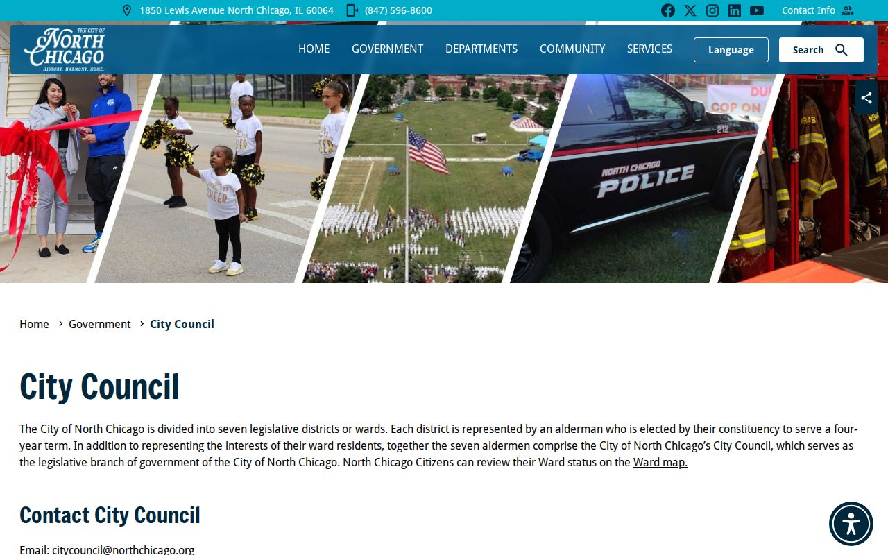
The captured council page provides the official civic route. Use an address-based ward map to connect a parcel to that route rather than guessing from a nearby street.
North Chicago also posts council agendas and minutes, which can date matters tied to a corridor or ward.
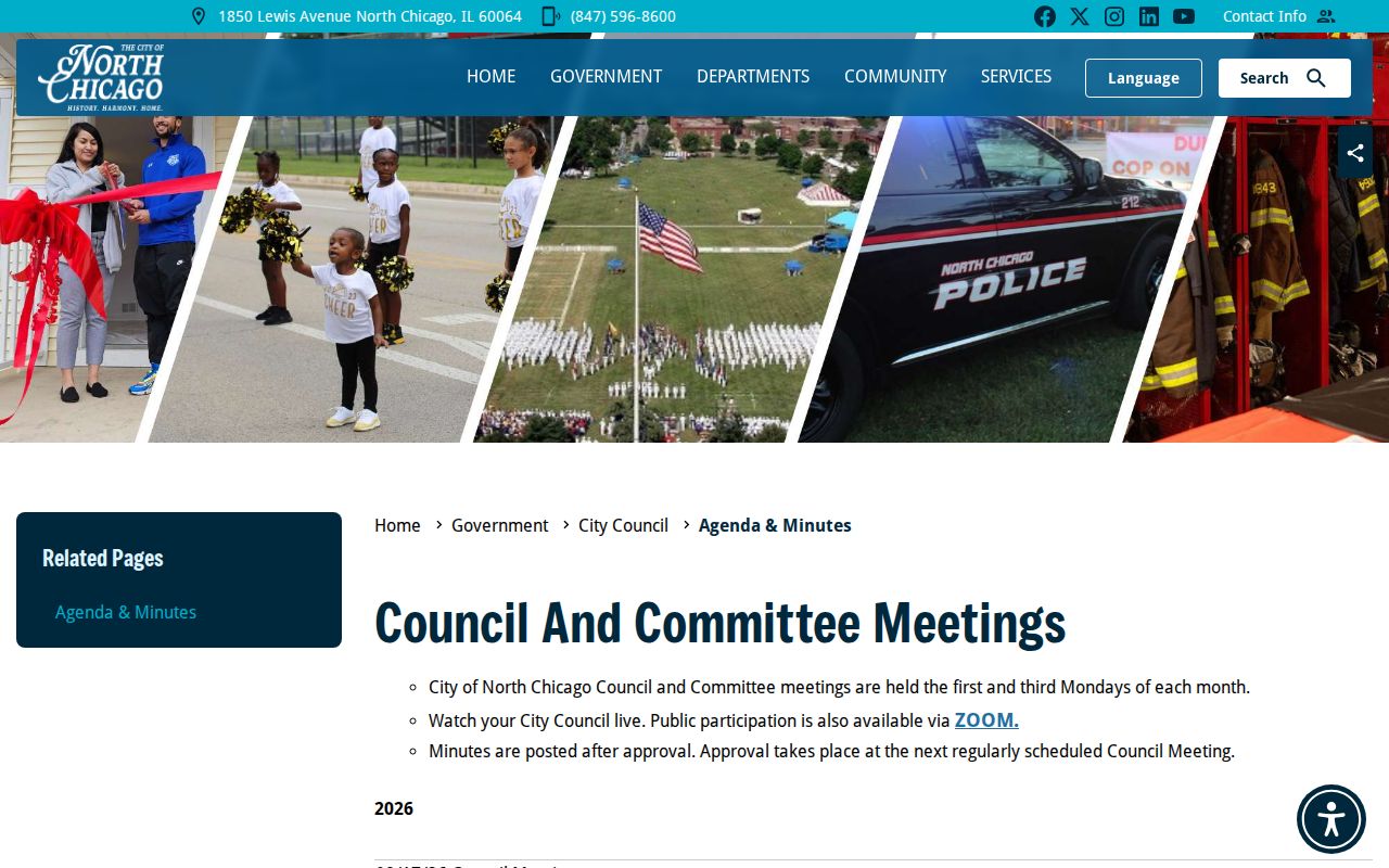
Meeting records can explain a project or civic action around the block. They should not be used to infer who lives at each parcel.
North Chicago Community Contacts, Not Rosters
No official public association, block-club, or member roster was located. North Chicago publishes neighborhood and ward geography, while North Chicago Community Partners offers an umbrella route for local activity. The honest contact layer names these public channels and states what is missing.
| Public Route | Useful For | Directory Limit |
|---|---|---|
| North Chicago Community Partners | Partner and community activity information | No resident or member list located |
| City Council | Ward representation and civic contact | Not a block household roster |
| City department contacts | Routing a public city question | No private resident contact data |
| North Chicago Public Library | Local reference and voter-registration site | Collection detail was not published in inspected city pages |
The Community Partners page is the page-assigned image source for this local gap.
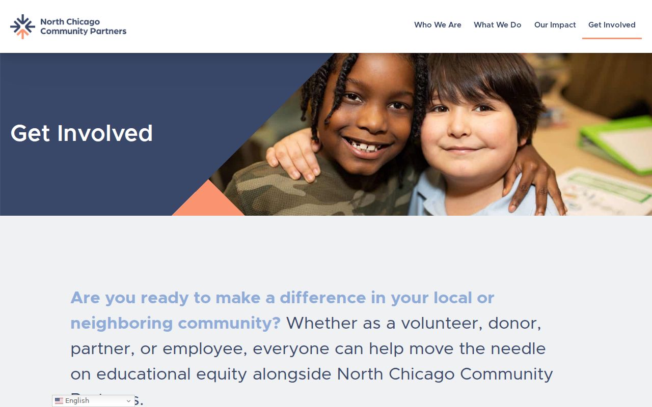
It offers a way to connect with current community work without implying that a public household directory exists.
Official North Chicago Block Evidence
Official rolls are narrow and date-stamped. Commercial neighbor tools may combine old public files with inferred contact data, but their broad result is not stronger proof. Compare the categories before relying on a name.
| Official block records | Commercial directory category |
|---|---|
| Named custodian and defined record purpose | Sources and update dates may be unclear |
| PIN, legal description, deed, ward, or dated directory citation | May blend owner, occupant, phone, and prior-address claims |
| Known limits, access rules, and correction channel | Publisher opt-out does not correct the county source |
Keep the official citation, retrieval date, and record type. If the source gives only an owner label, say owner. If a household appears only in an old directory, give the directory year. Do not turn either into a claim of current occupancy.
Historic North Chicago Neighbors by Block
For 1880 to 1915, compare the 1885 atlas, early city directories, census schedules, newspapers, and deeds. The 1916 to 1939 period adds telephone books and Sanborn maps. WPL directory groups for 1939 to 1959 and the News-Sun can help with later blocks. From 1980 forward, GIS, assessor, Recorder, city maps, and records requests form the current official chain.
A street section may show printed house order, but it is not a parcel survey. Sanborn footprints and plats can test the sequence. Search South Waukegan as well as North Chicago for late nineteenth-century records. Great Lakes may appear as an institutional or postal label, and Waukegan may appear because it is the county seat and home of key collections.
Route North Chicago Block Questions
The city's department contact page is a practical fallback when a map, permit, ward, or records question has no public result screen.
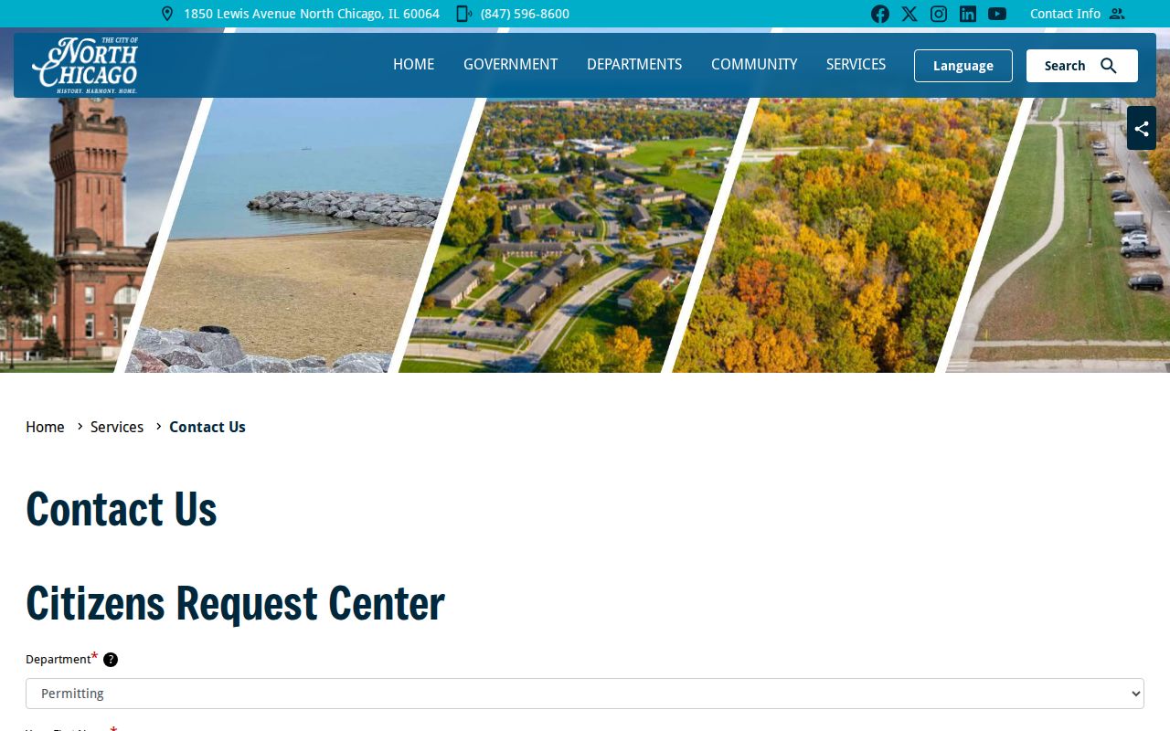
The captured page helps route a request to the proper office. For a property file, give the work address, record type, department, and date range. North Chicago permits and many municipal files use office, email, or FOIA access rather than a resident-facing index.
Privacy Limits for North Chicago Neighbors
Public maps do not show every household member. Utility customers, delivery files, DMV-derived addresses, protected voter fields, and sealed records are not a neighborhood directory. Illinois voter data has inspection, distribution, and use limits. The Address Confidentiality Program can place a substitute address into new state and local records for eligible survivors, and no one should try to reverse that protection.
Copy the least data needed: source, date, PIN or document number, situs, ward or map layer, and the narrow fact confirmed. Avoid tax-mailing details. A person can own land without living there, and a renter may never appear on the parcel roll.
Lawful use. Research North Chicago neighbors for civic knowledge, reconnection, or personal safety, never to watch, threaten, intimidate, or harass anyone.